Snake Hill
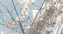
Snake Hill is an igneous rock intrusion jutting up from the floor of the Meadowlands in southern Secaucus, New Jersey, United States, at a bend in the Hackensack River. It was largely obliterated in the 1960s by quarrying that reduced the height of some sections by one-quarter and the area of its base by four fifths. The diabase rock was used as building material in growing areas like Jersey City. The remnant of the hill is the defining feature of Laurel Hill County Park. The high point, a 203-foot graffiti-covered inselberg rock formation, is a familiar landmark to travelers on the New Jersey Turnpike's Eastern Spur, which skirts the hill's southern edge. The crest of the hill's unusual, sloping ridge is about 150 feet high.
Read article
Top Questions
AI generatedMore questions
Nearby Places

Secaucus Junction
NJ Transit and Metro-North Railroad station
WMCA (AM)
Radio station in New York City

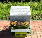
Hudson County Burial Grounds
Cemetery in New Jersey

High Tech High School
Magnet high school in Hudson County, New Jersey, United States

WNYC (AM)
Public radio station in New York City

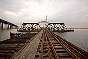
Portal Bridge
Railroad bridge in New Jersey

DB Draw
Bridge in Secaucus and Kearny

Ackerman–Dewsnap House
Historic house in New Jersey, United States


